
Parks & coasts
Not every water's edge is the same
Choose a coastal setting by what you want to understand, not by a photograph alone. Dunes, lagoons, mangrove shores and offshore islands tell different stories. The examples below are protected places with official visitor information, not recommendations for a particular activity under today's conditions.
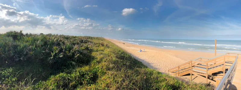
Gulf Islands: check the district, then the place
Gulf Islands National Seashore spans parts of Florida and Mississippi. Its official overview highlights beaches, marshes and historical landscapes. The name describes a park with multiple areas, not a single beach entrance.
For a Florida visit, begin with the Florida-area information. Look for the exact place name in the map and visitor details. Do not transfer access arrangements or a photograph from one district to another simply because both carry the Gulf Islands name.
Source notes: Gulf Islands National Seashore
The Everglades shoreline: a different kind of coast
Everglades National Park includes marine and estuarine habitats as well as freshwater wetlands. Mangroves are part of that wider mosaic. The photograph in our Everglades guide shows roots and an exposed shoreline, not a broad recreational beach.
Read the landscape description first, then choose a visitor area. If you are interested in getting onto the water, use official guidance for that specific route, access point and activity. This guide does not assess whether a particular outing is suitable for you or safe on a given day.
Source notes: Habitats and Plant Communities · Plan Your Visit to Everglades National Park
Dry Tortugas: offshore means a separate plan
Dry Tortugas National Park is mostly open water, with small islands west of Key West. It is accessible by boat or seaplane. Fort Jefferson adds a built-history focus to the surrounding marine landscape.
Treat transport and official visitor requirements as the starting questions, not as details to settle after building a schedule. We do not list operators, prices, availability or booking links. Read current park information and verify any arrangements with the appropriate official or transport source.
Source notes: Dry Tortugas National Park
A comparison you can actually use
Choose one setting from the list below and write down why it interests you. These are editorial distinctions, not quality rankings. A day can be worthwhile without covering several coast types.
- Dunes and a barrier-island context: begin with Canaveral.
- Beaches, marshes and historical landscapes in a multi-area park: begin with Gulf Islands' Florida information.
- Mangroves and the meeting of wetland and marine habitats: begin with Everglades.
- Offshore islands and a fort reached by water or air: begin with Dry Tortugas.
Source notes: Canaveral National Seashore · Gulf Islands National Seashore · Habitats and Plant Communities · Dry Tortugas National Park
Keep current details with the people responsible for them
The official visitor pages are the place to check access, operating details, fees, accessibility, activity rules and alerts. Our descriptions help you decide what to research; they cannot replace those pages or on-site instructions.
Make your plan flexible enough to change if the information you find does not fit your original idea. An image is context, not a guarantee of weather, crowds, water conditions or what is open.
Source notes: Plan Your Visit to Everglades National Park